präsentiert von

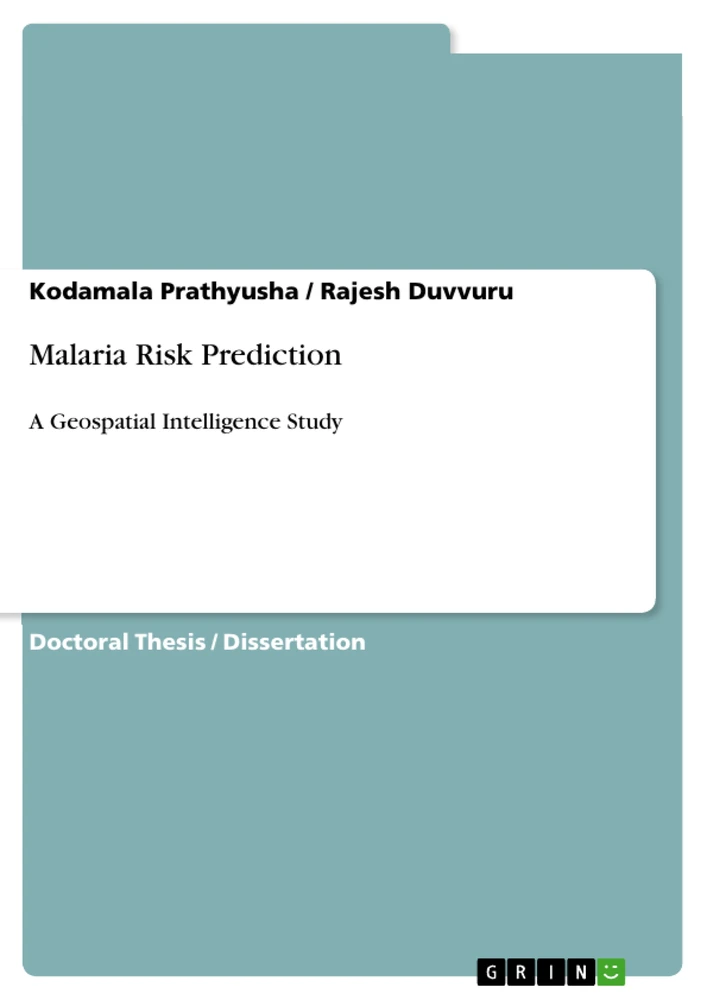
Table of Contents
Prologue/Introduction
INTRODUCTION
REVIEW OF LITERATURE
MATERIALS AND METHODS
RESULTS
DISCUSSION
SUMMARY AND CONCLUSIONS
PLATES
REFERENCES
Research Objectives and Focus
This study focuses on developing a novel "Spatial Analysis for Malaria Risk Reduction" (SAMRR) model to accurately predict malaria hotspots within the Integrated Tribal Development Agency (ITDA) Paderu region. By integrating GIS mapping and machine learning procedures with environmental parameters—specifically rainfall, temperature, vegetation indices, and proximity to water bodies—the research aims to create a decision-making tool to assist local health administrations in effective malaria hazard management and the attainment of Sustainable Development Goals (SDG-3) by 2030.
- Development of the novel Spatial Analysis for Malaria Risk Reduction (SAMRR) model.
- Statistical correlation of environmental factors (rainfall, temperature, NDVI) with malaria case incidence.
- GIS-based predictive mapping of "Probable Malaria High Risk Mandals" (PMHRM).
- Comparative performance evaluation against existing models like Maxent, SARIMA, and Bayesian Decision Networks.
- Provision of data-driven recommendations for localized public health interventions and mosquito repellent plantations.
Excerpt from the Book
Rationale for the study
Tribes suffer from many health issues in the Indian community due to lack of education, infrastructure facilities, adequate hospitals and communication network (Nedungadi et al. 2018; Rao 1998; Geethakumari et al. 2021). Integrated Tribal Development Agency (ITDA), Paderu in the State of Andhra Pradesh is a malaria-prone area, where poor and innocent tribal people are the major sufferers because of lack of proper medication facilities and improper hygienic conditions, especially during rainy season. According to the malaria statistics data of the District Health and Medical Office (DMHO), Visakhapatnam, this tribal area is treated to be a hotspot for malaria as thousands of cases are being reported here every year. With this backdrop, the present study was contemplated with the objectives stated below.
Summary of Chapters
Prologue/Introduction: Provides a high-level overview of the LULC classification, environmental parameters, and the development of the SAMRR model for hot-spot prediction.
INTRODUCTION: Establishes the global and local burden of communicable and tropical diseases, specifically malaria in tribal regions, and the necessity for advanced GIS-based warning systems.
REVIEW OF LITERATURE: Examines existing research on tribal health conditions, the etiology of Plasmodium parasites, and various predictive modeling techniques previously employed in malaria studies.
MATERIALS AND METHODS: Details the geophysical characteristics of the ITDA Paderu region, data collection sources for satellite imagery and malaria incidence, and the mathematical formulations for environmental indices.
RESULTS: Presents findings from the spatiotemporal analysis, including annual parasite indices, correlation results between environmental variables and malaria cases, and the predictive accuracy of the SAMRR model.
DISCUSSION: Contextualizes the study’s findings within larger epidemiological trends and discusses the superiority of the SAMRR model compared to traditional generalized linear models.
SUMMARY AND CONCLUSIONS: Reaffirms the effectiveness of the SAMRR model in predicting high-risk zones and emphasizes the potential for long-term health policy improvements through its implementation.
PLATES: Contains field documentation and visual evidence of study area conditions, healthcare infrastructure, and potential mosquito breeding sites.
REFERENCES: Lists the academic, institutional, and research-based sources cited throughout the work.
Keywords
Malaria Risk Prediction, Geospatial Intelligence, SAMRR, GIS, Machine Learning, Plasmodium falciparum, Plasmodium vivax, ITDA Paderu, Environmental Factors, NDVI, Annual Parasite Incidence, Public Health, Tribal Areas, Hotspot Analysis, Disease Forecasting
Frequently Asked Questions
What is the core focus of this research?
This work focuses on the development and implementation of a novel spatial model, known as SAMRR (Spatial Analysis for Malaria Risk Reduction), to predict malaria-prone areas and hotspots within the ITDA Paderu region in India.
What are the primary themes investigated in the study?
The study centers on the intersection of geospatial intelligence, vector-borne disease epidemiology, environmental science, and public health policy, particularly in underdeveloped tribal regions.
What is the main research objective?
The primary goal is to create an accurate, location-based early warning tool that utilizes environmental variables—such as rainfall, temperature, and vegetation cover—to classify administrative "mandals" as either high or low risk for malaria.
Which scientific methodology is utilized?
The study employs a multi-layered GIS approach combined with Set Theory and Pearson Linear Correlation to integrate five key environmental parameters identified through satellite imagery analysis.
What does the main body of the work cover?
The text covers the socio-economic and environmental rationale for the study, detailed methodologies for data extraction from Landsat-8 imagery, correlation analysis of climactic variables, and a comparative evaluation of the SAMRR model against established predictive algorithms.
How would you characterize the work using keywords?
The study is best characterized by terms such as GIS-based malaria prediction, machine learning, spatial analysis, environmental epidemiology, and tribal health in India.
How does the SAMRR model differ from previous methods?
Unlike many prior models that rely on macro-level data, the SAMRR model utilizes micro-level environmental parameters and precise water body distance buffering, which resulted in a 100% classification accuracy in this specific study.
Why are plants like Basil and Citronella mentioned in the conclusions?
The authors suggest these eco-friendly and low-cost plants as a practical, community-based strategy to repel mosquitoes in high-risk tribal areas, supporting the overarching goal of malaria eradication by 2030.
Ende der Leseprobe aus 102 Seiten
- nach oben
- Arbeit zitieren
- Dr. Kodamala Prathyusha (Autor:in), Dr. Rajesh Duvvuru (Autor:in), 2024, Malaria Risk Prediction, München, Page::Imprint:: GRINVerlagOHG, https://www.diplomarbeiten24.de/document/1496925

neugierig - aktuell - relevant
Entdecken Sie hilfreiche Tipps und Tricks rund ums Studium!

Entdecken Sie hilfreiche Tipps und Tricks rund ums Studium!
Ihre Hausarbeit / Abschlussarbeit:

- - Publikation als E-Book und Buch
- - Hohes Honorar auf die Verkäufe
- - Für Sie komplett kostenlos - mit ISBN
- - Es dauert nur 5 Minuten
- - Jede Arbeit findet Leser

- © GRIN Publishing GmbH.
- Alle Inhalte urheberrechtlich geschützt. Kopieren und verbreiten untersagt.
- info@grin.com
- AGB
- Open Publishing
Der GRIN Verlag hat sich seit 1998 auf die Veröffentlichung akademischer eBooks und Bücher spezialisiert. Der GRIN Verlag steht damit als erstes Unternehmen für User Generated Quality Content. Die Verlagsseiten GRIN.com, Hausarbeiten.de und Diplomarbeiten24 bieten für Hochschullehrer, Absolventen und Studenten die ideale Plattform, wissenschaftliche Texte wie Hausarbeiten, Referate, Bachelorarbeiten, Masterarbeiten, Diplomarbeiten, Dissertationen und wissenschaftliche Aufsätze einem breiten Publikum zu präsentieren.
Kostenfreie Veröffentlichung: Hausarbeit, Bachelorarbeit, Diplomarbeit, Dissertation, Masterarbeit, Interpretation oder Referat jetzt veröffentlichen!
Folgen Sie GRIN auf


- GRIN Verlag GmbH
-
- Nymphenburger Str. 86
- 80636
- Munich, Deutschland
- +49 89-550559-0
- +49 89-550559-10
- info@grin.com
-